Enetai - Champlain-Hudson-Southern New England Coast, 2015
Part 4: July 23 to July 30, Stonington Connecticut to Salem Massachusetts, 201 nautical miles
Thursday July 23, Stonington Connecticut to Block Island Rhode Island, 19nm
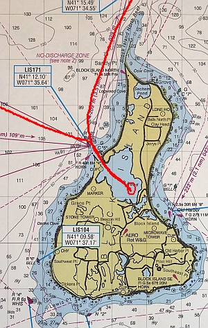
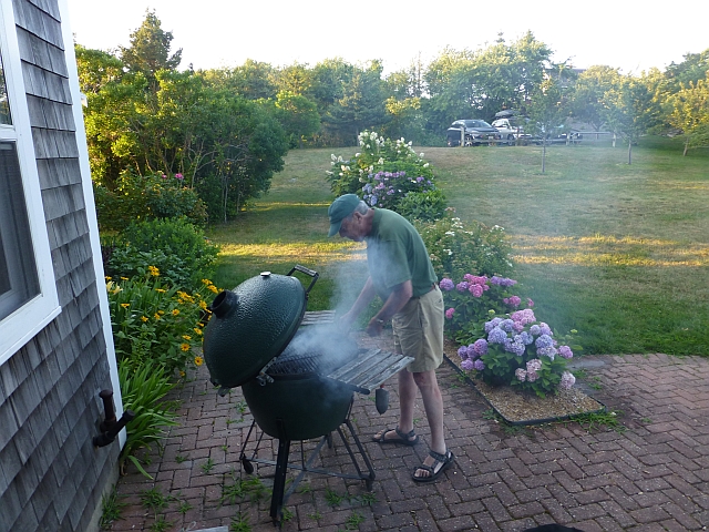
Boy, we are just lurching from relative to relative here- A very social cruise. From Stonington, we sailed out to Block Island, off the coast of Rhode Island, to visit with my Uncle John and Aunt Lyn. It was a very quick reach in a strong breeze under a blue sky. We were directed to a mooring in Great Salt Pond by the harbormaster. It was pretty far out, too far to row the dinghy in the wind so we took a launch in to shore. We had a great dinner with John, Lyn, Gus and a family that are Gus' friends. We felt quite spoiled to have another shower and home cooked meal! For once it was cool and I was under-dressed in a short-sleeve shirt and shorts. Aunt Lyn volunteered one of Uncle John's chamois shirts. I still have it, meaning to give it back next time we see them (although I kinda like it.)

Friday July 24, Block Island to Jamestown Rhode Island, 22nm
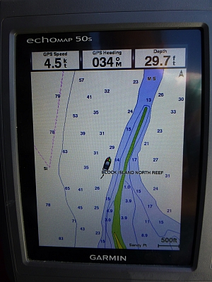
In the morning we bought pastries and coffee off Aldo's Bakery Boat that was working the anchorage. What a delight! Leaving Block, you have to watch the tide doesn't set you over the reef at the north end of the island. It is alarming to look over the side and see gravel and clams going by sideways under the boat, miles from shore
Back toward the mainland, we sailed into the West side of Narragansett Bay to Dutch Harbor on Jamestown Island. The best protected anchorage in the harbor is cordoned off as a conservation zone. There are other places to anchor further out and less protected. we elected to pick up a mooring within reasonable rowing distance of the town landing. It seemed clear that the "conservation zone" was more about managing competing interests in the harbor than protecting eel grass.
We walked across the Island to the town of Jamestown. It's a cute town, we
had a nice dinner out of a rain storm, and saw a lovely rainbow. Rain hit again
on the walk back and we stopped at a small grocery on a cross street and got
provisions and waited out the rain. The road was steaming after that!
Back to the boat and showers at the marina office.
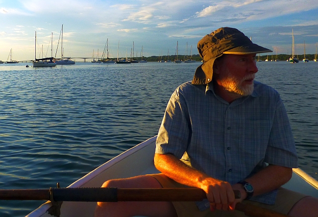
Strangely, there was a variety of cat-ketches in the harbor. I think there were 6 or 7 altogether. Here is a
sample: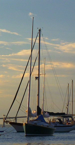
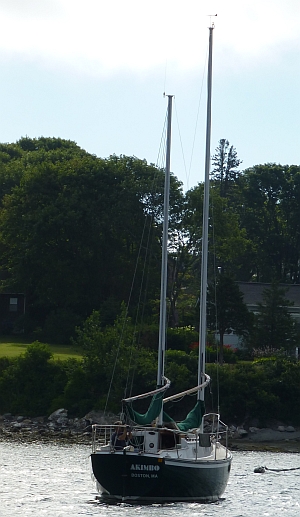
and this Presto 30(?) under sail: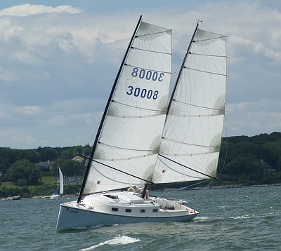

Saturday July 25, Jamestown Rhode Island to Westport Massachusetts, 25nm
We wanted to be sure we had plenty of fuel for the Cape Cod Canal, so after looking it up on the Active Captain program, we headed for Sakonnet, and into the harbor, but couldn't find the fuel dock so called the number. The fellow who answered was not in Rhode Island, the "fuel" listed was a tanker delivery a couple of times a week for the fishing boats. This lack of fuel and provisions seemed to be the norm for this coast. So we continued along to Westport. The marina there closed at 4:30 and we arrived about 4:40! There were, again, no services near the harbor. But we lucked out, and Gina stayed on the dock while a boater who was finishing up for the day very kindly offered to drive me into town to fill up the portable gas tanks. This was a crowded harbor,

We planned to take the tide out in the morning as the current runs strong in the channel.
Sunday July 20 Westport Massachusetts to Megansett Massachusetts, 37nm

It was rough getting out of Westport Harbor with an onshore wind blowing into the channel. The chop set the boat pitching up and down, with the motor propeller lifting out and cavitating despite our slow and careful progress. We cleared Gooseberry neck and the outlying rocks and headed for Woods Hole, another area with strong currents and swirling eddies. Busy, busy place on a Sunday.
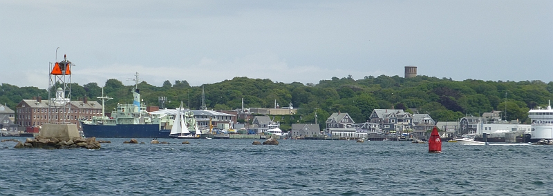
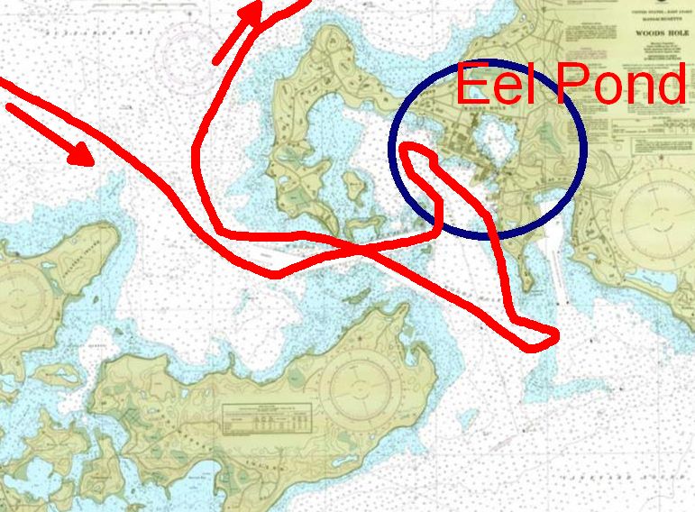
The harbor is Eel Pond, which is completely enclosed inside the outer harbor, through a narrow channel where a draw bridge must go up to admit sailboats. We couldn't see in to see if there was room, but could see large masts indicating a number of boats already in there and many large sailboats milling about the outer harbor awaiting the bridge opening. So we skipped Eel Pond. The wind was quite strong from the south, and we didn't have a lot of maneuverability with all the boats, currents, rocks and lack of anchorage area, so we turned around to look for calmer, roomier conditions, sailing north with a strong wind. And thus, we unexpectedly found ourselves part way up Buzzards Bay. An assessment of the chart lead us to Megansett Harbor, which looked like a large harbor with protected area for potential anchorage.
It turned out that there was a small yacht club at
the head of the harbor. Planning to get some ice (again, did I mention how hot it was?), we tied to a small dock to get directions. As it started to drizzle, a very nice man offered to drive Gina to a store for
ice. Upon returning, he and another yacht club member offered us a mooring for
the night (the name of the boat that was not there was "Spending Machine" -
great name for a big boat). Later, after the rain, we walked into town for
pizza. After a lovely sunset,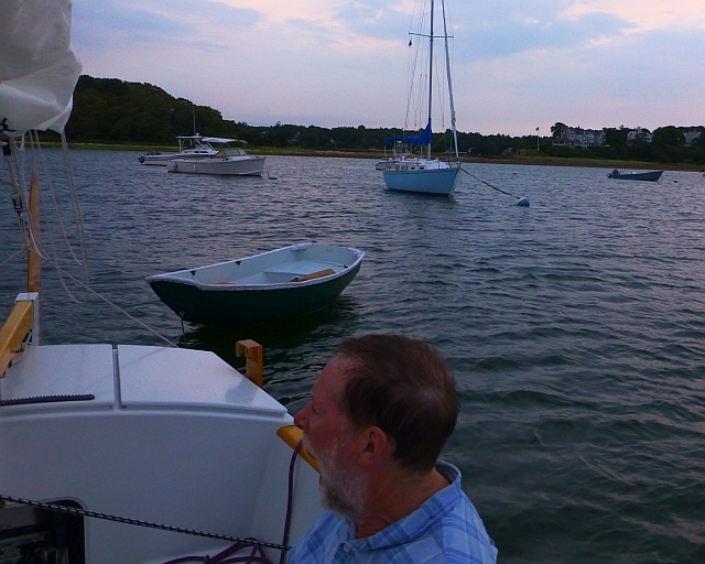
just as we bunked
down, a group on shore started shooting off fireworks. I slept through this,
but as the debris landed on our boat, Gina jumped up to close the fore hatch.
Not much we could do, next morning we got most of the orange stains washed
off.
Monday, July 21 Megansett to Barnstable via the Cape Cod Canal, 30nm

Tides are important to passage through the Cape Cod Canal, especially for a small boat like ours. Connecting Cape Cod Bay and Buzzards Bay, ripping currents can form during the exchange of water between the two bays. Tides at the east end, in Cape Cod Bay, are nearly 5 feet higher than tides at the west end in Buzzards Bay, and they occur out of phase with each other. The general direction of flow: east-west for an outgoing tide, west-east for an incoming tide.
The strong current can create an experience like entering a washing machine if the wind is against the current as you exit eastbound.
We got underway to get to the entrance with the ebb from Massachusetts Bay. The Canal has a strong current that follows the trend of the ditch without too many cross-current issues (except perhaps near the academy and east entrance breakwaters). The east end can be challenging because Cape Cod Bay influences the entrance with waves, weather and wind.
We sailed to the entrance channel by the Massachusetts Maritime Academy and their wind turbine, one of a number of turbines seen on Buzzards Bay.

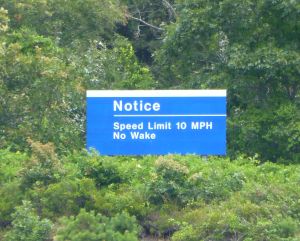
We dropped our sails for the transit. Despite the speed limit, we saw a number of scofflaws racing through the canal, selfishly creating wakes in the narrow channel.
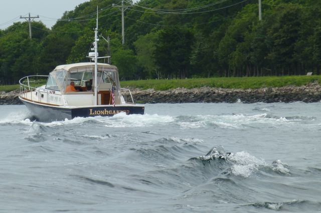
Eastbound exit was aided by a southerly wind, the eddies and
currents were not bad.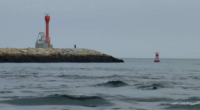
Barnstable offered an inlet/harbor that looked worth a try on the chart, we up with the sails and a lovely reach along the north shore of the Cape.
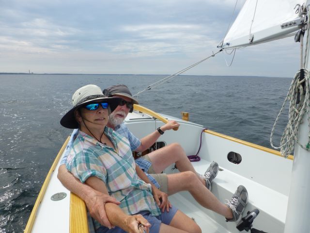
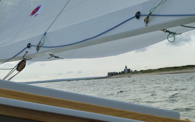
The channel in to Barnstable offered delightful green/aquamarine water over sandy shallows. Cape Cod is a sandy glacial moraine. All the harbors on the inside and outside of the Cape are shallow and convoluted. Our boat is ideal for these waters.

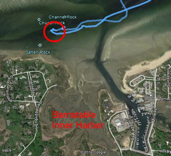
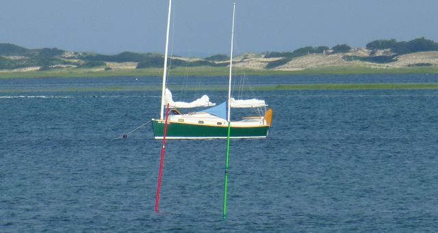
A really pretty spot, we anchored out in the harbor, off town a ways. Despite the sandy aspect, a boat came along to kindly warn us away from a rock near where we anchored. Most people don't realize that 'Enetai' is so shallow draft with her centerboard. A nice swim, a lovely evening.

Tuesday July 28, Barnstable to Provincetown, 22nm
In the morning we rowed into the inner harbor to walk into Barnstable for breakfast. The town really isn't at the harbor, unlike much of the rocky Massachusetts and Maine coast, the harbor was lined with marinas, whale watch cruise and a restaurant that wasn't open, and wasn't oriented to visiting boaters. A little over half a mile walking and we found a great breakfast at the Blue Plate Diner.
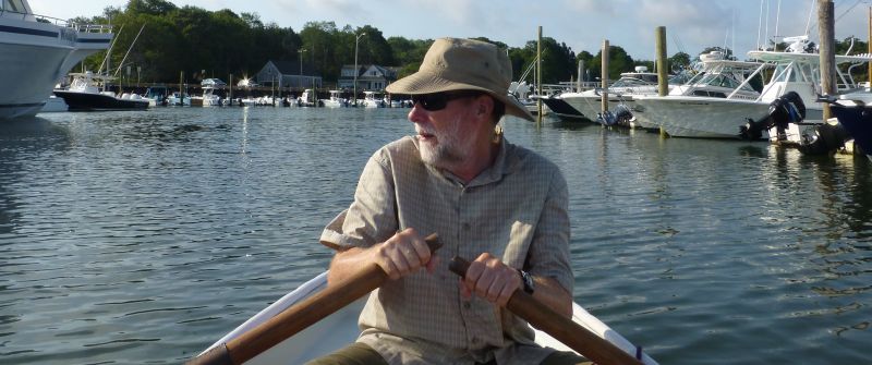
Again, we picked up some ice, before heading back out to "Enetai". With no wind, we motored for
several hours across a deserted (except for a lonely gannet and the whale watch boat that went out in the distance)
Cape Cod Bay in the glinting sun, to Provincetown. It was a bit eerie, being the middle of the summer, along the famous Cape, and there was no one around, anywhere to be seen. But, as we approached the harbor, we saw some activity.

We curled around the spit protecting P-town to anchor off the beach with the seals. The seals were amazing, swimming all along the end of the spit, they seemed to be having a great time

In spite of the gang of seals (do they bite?), we swam in to shore and walked along the dunes. We had to stop at a "bird use area". I can't quite put my finger on what is wrong about a "bird use area"...Maybe the idea that you can tell birds what area to use. We swam back to the boat in time for a beautiful sunset.


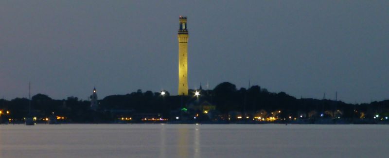
I'm sure I mentioned it was really really hot - we were pretty much toasted by this point despite about a gallon of sunscreen in the couple of weeks we'd been gone. The night in Provincetown harbor was beautiful despite the heat, with the graceful tower (Pilgrim Monument) lit up and reflecting on the peaceful water.
At about 4 AM was this strange yipping, almost-howling, in the distance, which as the sun began to come up and we looked through binoculars, we realized was seals and their pups way down the shore in a bend of the Cape.
Wednesday July 29, Provincetown to Salem
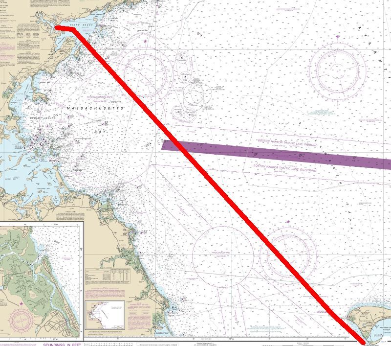
Provincetown is a wonderful place, populated with many unusual people. It is worth a visit, all on its own. This time, we decided to skip visiting the town. Enetai was beginning to smell the barn. We were heading to Salem to pull out. We stopped at the fuel dock in P-town and realized we had a half hour wait until they opened. Best part? At low tide, the fuel dock is in the SHADE!

Gina headed into town to find coffee, while I bought gas. Getting out of P-town is kind of an ordeal, at least a mental ordeal. You motor around the spiral tip of Cape Cod, following the beach for miles before you can lay a course for your destination.

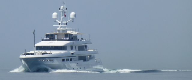
This was another of what Gina began to think of as Long Island Sound days - absolutely no wind, steel gray smog-permeated-air too thick to stir. We didn't help either, motoring 9 hrs to Salem, using the autopilot. Only saw a couple of boats on the way, one strangely bow-down motor yacht. There was a yellow haze that we first thought was caused by a boat with motor trouble. But, no, it was distant Boston shimmering in the heat waves.

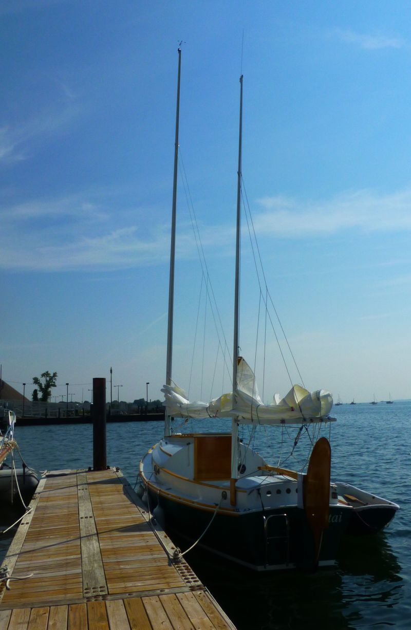
We dropped anchor off Marblehead to take a swim and try to cool off. Never has the water been so warm in this location where we'vej sailed for many years! Here is Enetai on the dock in Salem, none the worse for the wear. Our friend Kim came to pick us up, and we had a delicious dinner at a nearby restaurant before heading home.
On Thursday July 30, we pulled the boat out at Winter Island after waiting for a bunch of optimus prams to launch.

They were getting ready for a big regatta (or was it a little regatta? Opti's are about 8 feet long). Enetai was back on her trailer at a familiar place, ready for a half-hour drive home
