Enetai - Champlain-Hudson-Southern New England Coast, 2015
Part 1: July 10 to July 14, Mallet's Bay, Lake Champlain to Waterford New York, 142 nautical miles
This part of the cruise was more or less due South from our launching point, southward, 'down' Lake Champlain, then South on the Champlain Canal. We were surprised at how few boats there were all the way down. We never shared a canal lock with more than one other boat. And this was in late July, the height of the boating season.
This page reads top to bottom, paralleling our route from North to South. I have tried to take advantage of this co-alignment by arranging vertical chart strips down the left margin of the page running beside the narrative. If you are seeing a lot of white space next to the chart strips, try widening your browser window. The text and pictures should fall into place. If you are reading this on your smart phone you will probably have to pan and scroll more than you like. I have not mastered the html of mixing text and images.
Friday, July 10 Drive to Mallets Bay
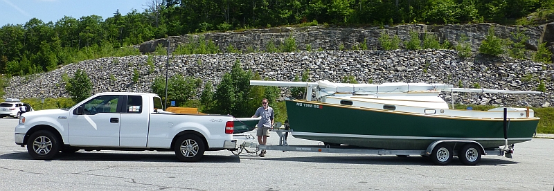
Taking the same route to Vermont, we stopped at the same rest area a little more than halfway to lake Champlain.
And so again, we launched at the same ramp we started at last year, the state ramp at Mallet's Bay. This time we are going South. The SeaGrant folks continue to be active battling aquatic invasives on your boat or trailer. As our boat has only sailed in salt water and in Lake Champlain, this wasn't an issue for us, however, we noticed we were anchored among those invasives as we got closer to the southern end of the Lake, so it seems the battle is on.
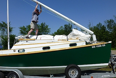
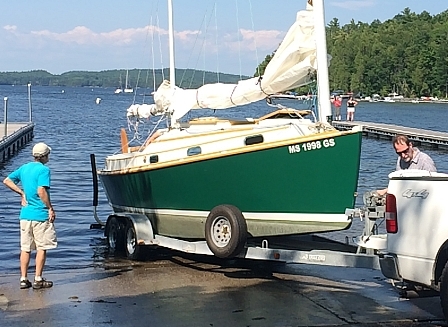
We launched into a perfect afternoon for a sail and we took our friends (and return drivers) Kim and Will, and their sister in law Marcia, out for a sail. After dropping them off at the boat club, we sailed back into the bay to anchor near Beer Can Island.
Saturday, July 11 Mallet's Bay to Porter Bay, 41nm
After crossing the wide, crater-shaped Mallets Bay in the morning, we turned south to tack down the lake all day. Burlington appeared as a slightly hazy assortment of buildings to port. High hills in the distance, framed by low hills closer to the lake made for spectacular scenery.
We were reading a brochure about the lake and kept looking for the split rock, which got a bit of press in the brochure. When we finally spotted it, we had to get close to see it!

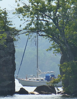
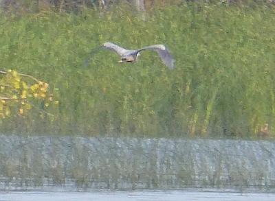
We anchored in Porter Bay, which is nearly surrounded by marsh, and from which we could occasionally see boats that looked like they were sailing in trees to the south as they made their way up the narrow Otter Creek (probably going to Vergennes). Herons passed back and forth to the east along the marsh, and we realized that every time one headed into the trees to the north there was a chattering-gobbling chorus. We finally decided it must be an unseen rookery and the herons were bringing food, so the chicks would produce an excited chorus every time one flew in.

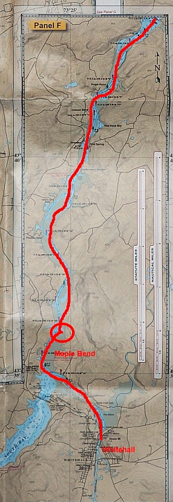
Sunday, July 12 Porter Bay to Maple Bend, 40nm
First thing in the morning we headed north around the little point at Porter Bay entrance to see if we could spot the herons. But nothing was visible from the water. We sailed down the Lake in light winds, putting our autopilot to use. We needed ice, which would become a recurring theme as the whole trip was quite hot.
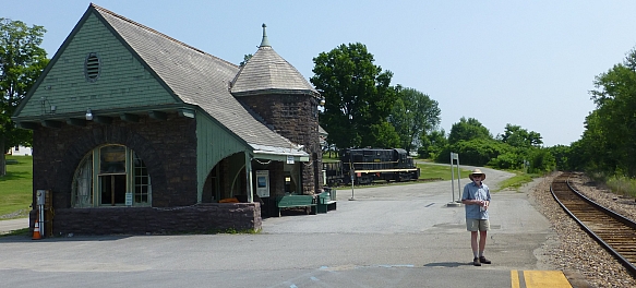
We stopped in Port Henry/Moriah and walked up to town, looking for a hack saw to deal with the PVC mast holder we'd be using for the canal. Port Henry has some beautiful old buildings, including an old stone train station near the marina. We got ice cream in town and ice from the marina and headed out.
Friends told us about Crown Point, which has the Champlain Memorial Lighthouse (with a surprising Rodin sculpture), which commemorates Samuel de Champlain, a French navigator and explorer who, in 1609, led an expedition up the Richelieu River and explored the region. He named the lake after himself as the first European to map and describe it.
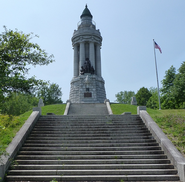

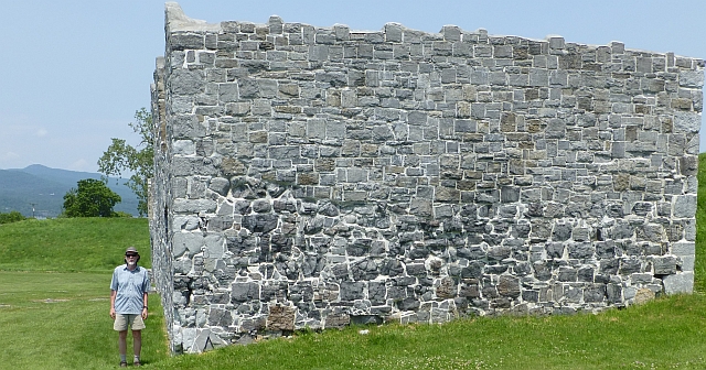
There's a nice campground and park at the lighthouse, and across the highway is Fort St. Frederic. There are layers of history all along this route, and this one, with ruins of French, British and American fortifications, is well worth visiting (particularly the leaning ruins.}
Going under the bridge, past a launch ramp to get back to the Champlain Lighthouse, offers further historic placards describing the ferries that plied the waters before the bridge was built.
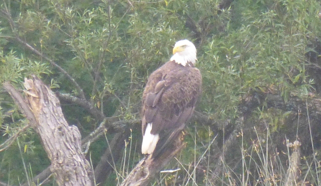
The Lake begins to turn into narrow channel after this bridge. We had some difficulty interpreting the charts, the Garmin and what we were seeing as we looked for a place to anchor in the narrows. Marshes line the channel, and eagles perch on the navigation aids and branches. It's hard to believe you are still in the same Lake Champlain! Eventually we found a stand of trees to tuck up behind (like an underwater island) at a place called Maple Bend.
After anchoring and a dusk began to fall, we heard a strange moaning sound coming from under the boat. Worried that we'd dropped our anchor on 'someone's' head, we tried to figure out what it was. Despite the heat, we decided NOT to swim! With no communications except the DeLorme, we typed a message to a friend, who replied that it could be a Sheepshead or Freshwater Drum. Except for one really impolite motor boat, we saw no one in this misty, remote, bayou-like spot. It was quite eerie as the groaning got louder as the sun was setting, so it was a great relief when it stopped just as the sun disappeared! (to see a video fishing on Lake Champlain and a drum see Video: fishing for freshwater drum, the drum is about 2 minutes in).
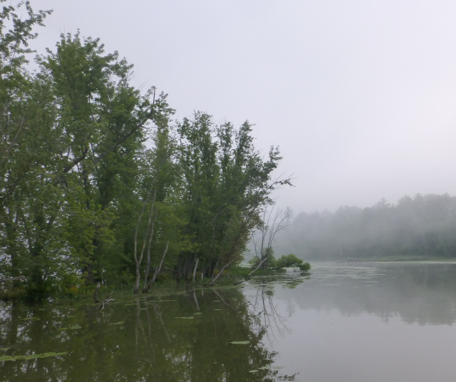
In the photo, you can see how the trees grow out of the water, not really an island, but it protected us from the motor monster wash.
Monday, July 13 Maple Bend to Island South of Schuylerville, 39nm
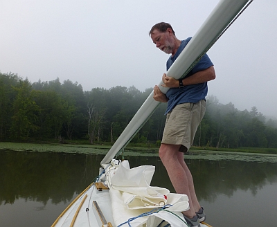
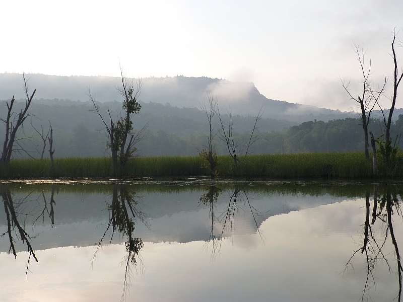
The osprey on a nearby day beacon was still watching over the channel as we got up and prepared to take our masts down for the locks and canal system. It was completely calm, and a mist had settled over the marsh, quiet and beautiful. We said our goodbyes to the osprey and headed on down to the canal.
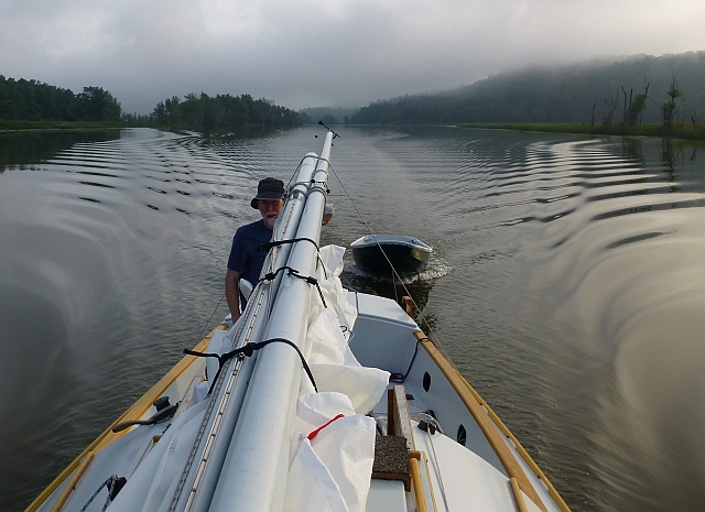
We passed some Amish fishermen as we made our way to the first lock, Number C-12 at Whitehall, New York.

We purchased a two-day canal pass for $15. There are a total of 11 locks over the length of the Champlain Canal. All locks are single locks with the lock chambers measuring 328 feet long and 45 feet wide. Communicating with the locks is done on VHF Channel 13. The highest single lift on the canal is found at Lock #C3 in Mechanicville, NY with a lift of 19.5'. The smallest lift is found at lock #C7 in Fort Edward, NY with a lift of only 10.0'.
Fortunately, a big motor boat was waiting - which is usually a bummer due to the diesel fumes, but in this case, Gina spotted them putting on gloves as they entered the empty lock and dashed down below to grab some for us. The walls of the lock were covered with black slime as were the lines that we had to hold on to! The lock action jostles the boat and, despite fenders, as you adjust the lines you still end up pushing off the walls to keep the boat from scraping.

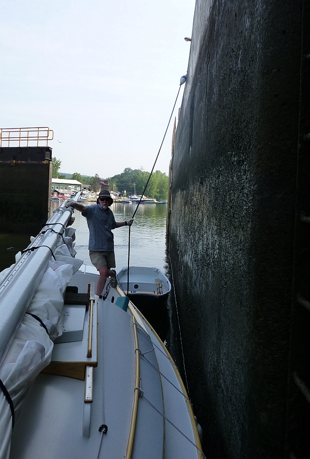
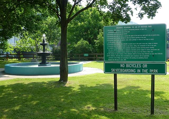
The 15 foot deep lock filled and lifted us up to allow us to enter the Champlain Canal. The town of Whitehall, historic as "The Birthplace of the U.S. Navy", spans the canal. There's a wall you can tie to south of the lock. A lovely park along the waterway seems to put off visitors with an amazing list of prohibitions. (Click on the image to see the rules close-up)
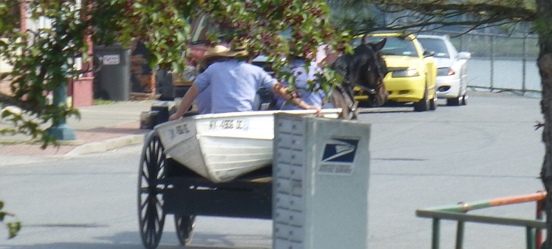
We spotted the Amish fishermen returning from their outing, still sitting in their dingy, which was perched on a horse-drawn wagon, the horse trotting proudly through town looking this way and that.
We wandered all around looking for coffee, which turned out to be right under our nose at Historic Grounds, across from the park and north of the train station. They had fantastic coffee.
The first 30 miles of the canal are pretty straight, a dug ditch fed by a feeder from the Hudson River (named after Henry Hudson, an Englishman sailing and exploring for the Dutch East India Company in 1609), until it actually joins the Hudson. You have to pay close attention to your steering or you will end up in the trees along he bank. Fortunately, it wasn't too busy. The first three locks (C-12, C-11 and C-9 (there is no C-10)) take you up about 43 feet.
You start entering locks that are full at C-8; as you go downstream, the locks lower your boat about 126 feet in all. The Hudson River and the canal come together below lock C-7, at Fort Edward. A very sharp left U-turn (west) just after the lock abutment takes you up the Hudson to the town.
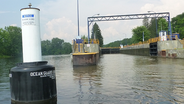
We stopped and tied to the wall at Fort Edward, but it was next to a busy park, very hot against the wall, and still pretty early. We walked around town and filled our water tank at a convenient tap. We continued south. It was pretty hot all along, umbrellas are de rigeur if your boat doesn't have a dodger or bimini.

Above Lock C-5 you have to skirt this dam. You would not want to lose power here!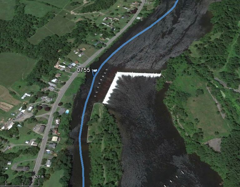
After the dam, the canal runs about a mile to the lock The video shows the incredible greenery reflected perfectly in the water. It was like travelling through a Kaleidoscope.
This video is descending the large empty lock C5
Below lock C-5 is Schuylerville, which sounded like it had an interesting history so we prepared to stop. However, it isn't at all obvious how you approach the town itself, since the channel swings east of the town, around an island. We were warned off exploring the channel that runs by the town, and so drifted downstream to anchor behind a little island around the bend north of green marker 135.
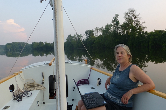
It was a quiet anchorage with two conversing cormorants in the tops of the trees on the island. Never saw cormorants vibrating their throats like that, never saw them in trees before come to think of it! A perfect quiet place for a swim, and later we were treated to a beautiful sunset over the river.

Tuesday, July 14 Green #135 to Waterford, 22nm
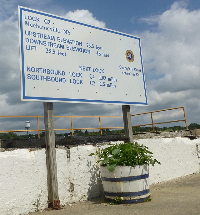
The channel looks much more like a river on this part of the canal. The dams and locks were a reminder that it's still tamed for travel. Some of the locks presented much bigger drops as we proceeded (the biggest lift (25.5 feet) at Mechanicville)./p>
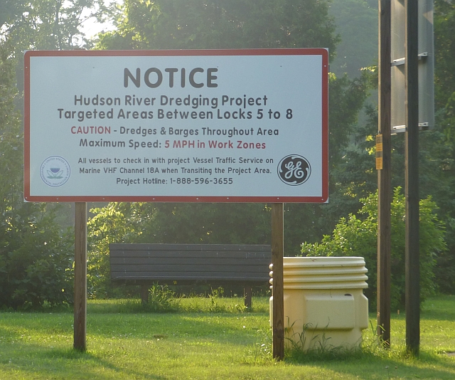
The history of industry on the river bank was visible first when we passed an active clean up site, treating soils/dredge spoils from GE sites in rotating and steaming tanks. From here downstream there was some barge traffic, and flagged sediments along some of the shore (this evidently is part of a PCB-processing plant in Fort Edward that has been used for a six-year, federally required river dredging project by General Electric Co., but according to the story, it's not dredging the canal).
Mechanicville is known for inviting boats to tie up to their 'seawall'.
They even have a new restroom and shower facility up some steps from the waterfront. Gina went in to the town to look for sandwiches - all the stores which were up the hill, away from the waterfront. As we finished eating on the deck of the visitor center, a boat (a small motor craft called a Nimble Nomad) came up to tie along the wall, and we went down to help. Just as the lines were tied, we noticed a motorboat in the channel going really fast. He may have been rushing to get into Lock 3.
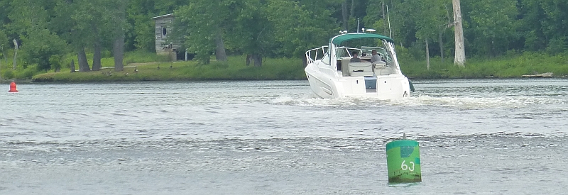
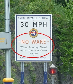
- This is known as a "wake monster", among other things. He was clearly in a no-wake zone.
The wake crashed our boat and the Nimble Nomad against the concrete wall, chewing up our rubrail. The Nomad had all the pictures knocked off the walls and their iced tea spilled all over. Bo got on the radio and called the guy (using an expletive which is not allowed over marine radio, but this was really bad). No reply but he slowed down. So Bo radio'd the lock master asking him to hold that boat until we could assess the damage. This prompted the motor boat to broadcast an abject apology. He was clearly in a hurry and did not want to be held up by the lockmaster. Neither we nor the Nodmad requested the motorboat be held for the police but it was tempting.
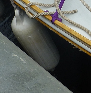
The wall no longer seemed a safe spot to tie up and we decided it was time to leave. The perpetual travelers on the Nomad, Glen and Katie, told us how nice the dock in Waterford is. So we went together into Lock C2 where the lockmaster had heard the radio traffic - he was in communication with lock C3 about the motor boat. The lockmasters control traffic up and down the canal and were quite willing to teach this guy a lesson on our behalf. In the end, any "lesson" from the lockmasters would probably have fallen on deaf ears ("Whad I do?").
We were just lucky there wasn't more damage.

Also about this time, we noticed some nasty sharp spiny things hanging out on the lock lines, ouch. Can anybody tell us what these things are? Some kind of freshwater crustacean?

We arrived in Waterford mid-afternoon and got about the last spot on the dock. We had time to explore this very historic town. The Samuel Stewart House is very interesting, now it's a Masonic lodge, but a very nice man gave us a quick tour when he saw us looking at it). Later we had dinner at the Angry Penguin pub with Glen and Katie.
Waterford is where the Erie and the Champlain Canals meet. The locks for the Erie begin at E2, and moored on the dock we faced the very tall doors of the lock at Waterford, but they were screened by some bridge sand blasting work.
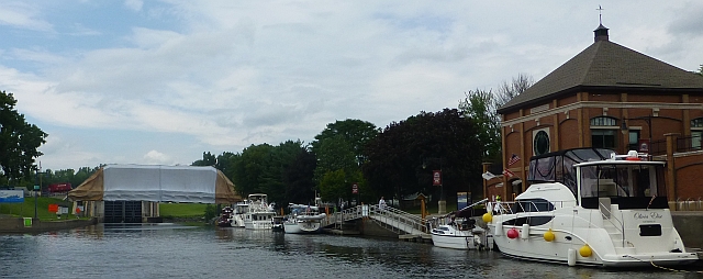
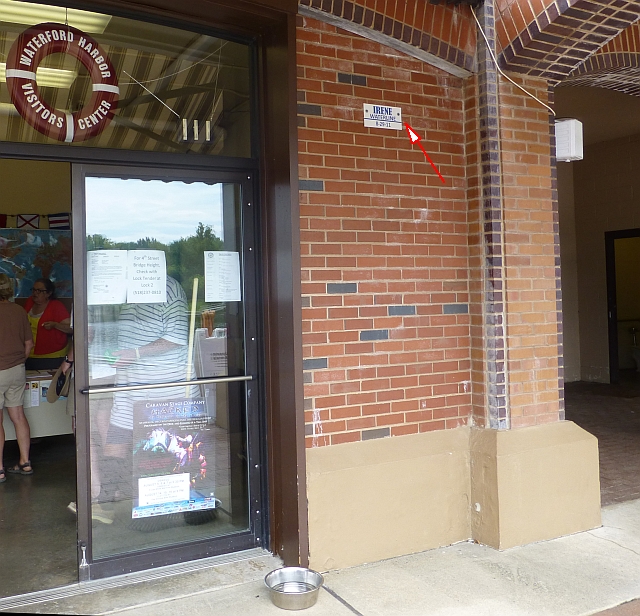
The visitor's center was really nice, and had showers for which the key required a $10 deposit, which was returned the next morning. Hurricane Irene had flooded the area, with a marker showing the water level. The old, historic, canals are at the Erie Canal locks park, a very nice place to walk.
